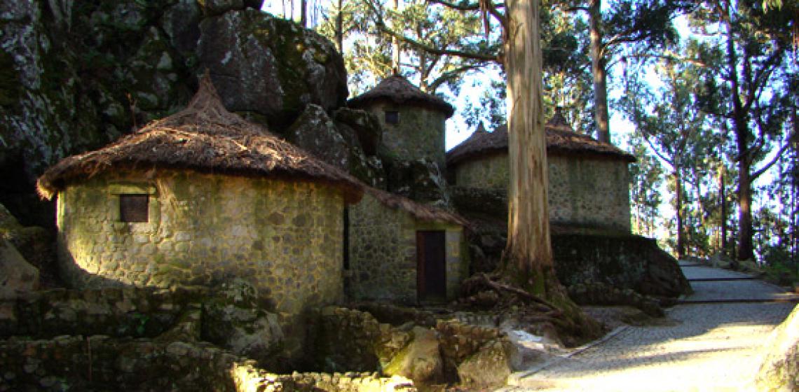
Castro de S. Lourenço (PT)

The Castro de S. Lourenço in the district of Esposende is part of a series of hill forts which controlled the region’s coastal shipping route. The site gives a great panoramic view and control over both the coastal area and the estuary of the Cávado river.
The coastal plane is very narrow here and the hill fort is on the last western slopes before the plane. The prehistoric settlement played an important role in both trade and administration. It was in use from the Late Bronze Age up until the 5th century AD. In the Roman Era the architecture/ urbanism of the Castro de S. Lourenço was reorganised in what we call a Roman-like Vicus. The ruins were partly destroyed when in the 1950s a new chapel was built.
In 1983 a quarry was constructed. When trying to build a road through the hill, they destroyed a part of the settlement. This destruction determined the classification and the beginning of the archaeological excavations in 1985. In 1986, the site was classified as a Public Interest Site. In 1991, the Esposende municipality decided for repair works, consolidation and also reconstruction of multiple Castro structures. From 1995 onward, the process of turning the Castro into an open air museum took shape.
Part of the three ramparts have been reconstructed as well as several buildings. The settlement area covers the north facing slope as well as the west side. In general, three circular or elongated structures would converge at a central patio. This series, with a wall around it, form a nucleus, a family compound. The hill fort exists of many of such nuclei together. The Castro de S. Lourenço is in good condition. Besides the reconstructions, there are several information panels.
Picture by Abel M. Queirós
